This site is the online companion to volume 3 of GIS for Science: Maps for Saving the Planet, as well as to both volumes 1 and 2 of GIS for Science: Applying Mapping and Spatial Analytics. It contains online resources that complement the case studies featured in the books, and also the Technology Showcase vignettes in each appendix.
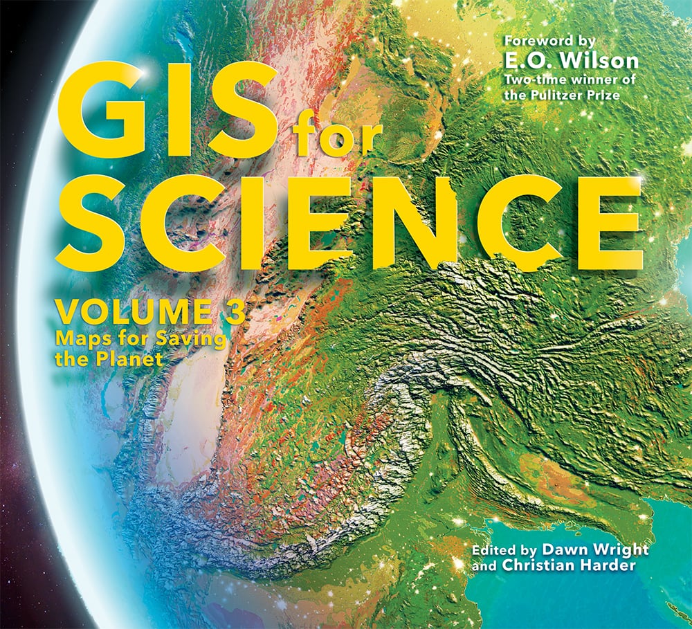
At a time when so much is on the line for this kind of mapping, leading to science-informed decision-making about the forces affecting life on Earth, GIS for Science: Vol. 3, pivots even more sharply than the prior two volumes to a focus on biodiversity. It consists of real-world examples of scientists literally creating the maps that are saving the planet, showing biodiversity through the lens of global satellite observation, forestry, marine policy, artificial intelligence, and of course conservation biology and environmental education.
The stories in this book series are written for professional scientists, the swelling ranks of citizen or resident scientists, and anyone interested in science, geography, and the conservation of nature. The contributors represent a cross section of scientists who employ data gathered from satellites, aircraft, ships, drones, and myriad other remote-sensing technologies. Scientists are documenting an array of geographically oriented issues ranging from climate change, natural disasters, and loss of biodiversity to political strife, disease outbreaks, and resource shortages. The data and resources on this site present GIS ideas and inspiration that users can apply across many disciplines, so that you too can join in the effort to save planet Earth before it’s too late.
Technology Showcase Flipbook, Volumes 1-3
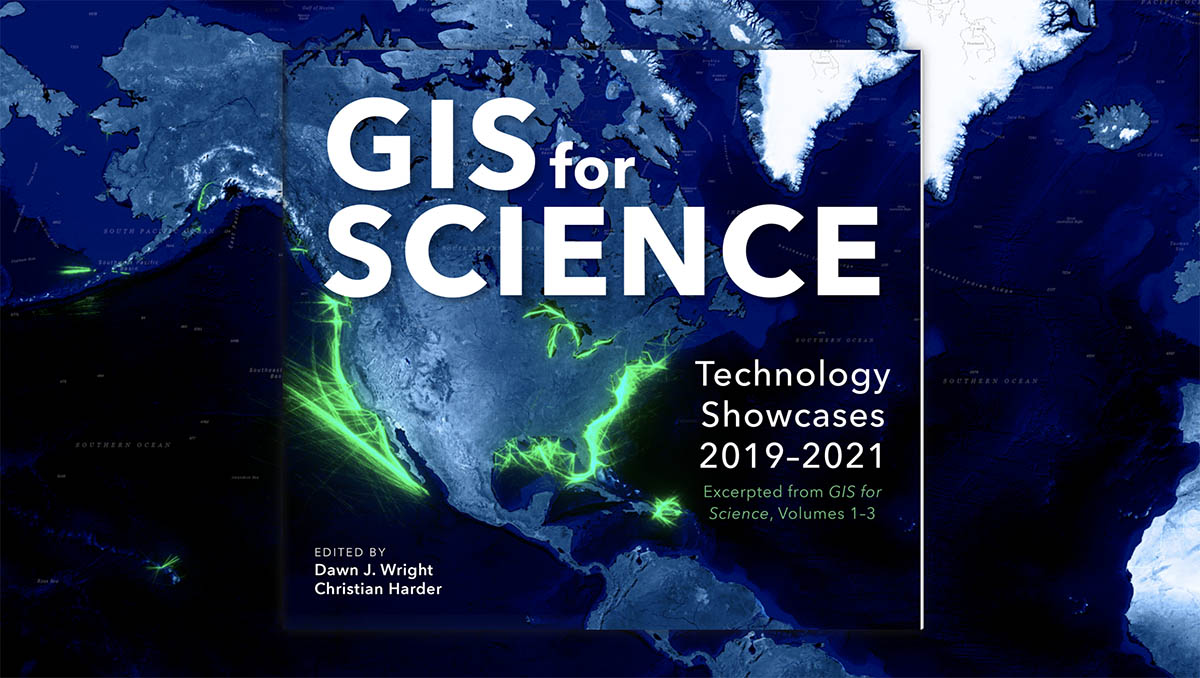
Technology Showcases 2019-2021
This interactive flipbook featuring the Technology Showcase excerpts from the GIS for Science book series shares Esri’s own innovations and contributions to science and peer-reviewed research.
Chapter Resources Volume 3

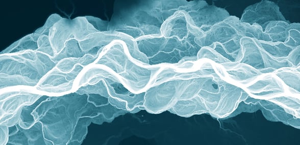
Earth’s Coastlines
Roger Sayre, U.S. Geological Survey et al.
Preventing Species Extinctions
Healy Hamilton and Regan Smyth, NatureServe
Mapping Half-Earth
D. Scott Rinnan, Yale University; Greta C. Vega, Estefanía Casal, Camellia Williams, Vizzuality; and Joel Johnson, Chris Heltne, E. O. Wilson Biodiversity Foundation
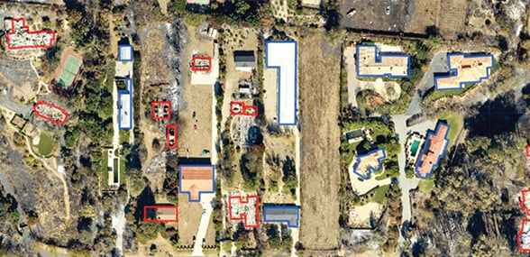
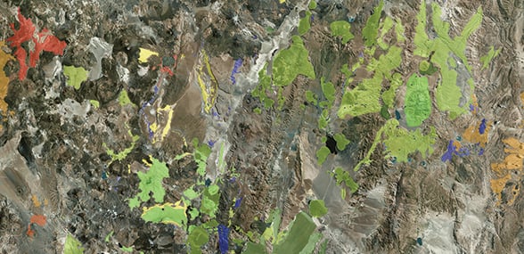
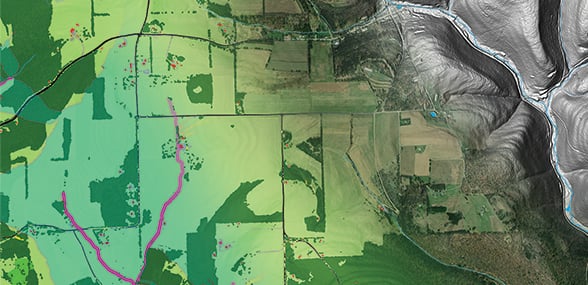
From Plots to Pixels
Christopher Oswalt, Charles (Hobie) Perry, David Bell, Charles Werstak, and Barry Wilson, US Forest Service
Blueprint for a Better Future
Maryam Rabiee, United Nations Sustainable Development Solutions Network; and Ismini Ethridge, Columbia University
Conserving the Last Ocean Frontiers
Daniel Wagner, Conservation International et al.
AI for Geospatial Analysis
Bonnie Lei, Microsoft; Kate Longley-Wood and Zach Ferdana, The Nature Conservancy; Susanna De Beauville-Scott, Organisation of Eastern Caribbean States; and Julian Engel, OceanMind
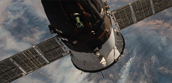
Mapping Extreme Events from Space
NASA Earth Science Division et al.
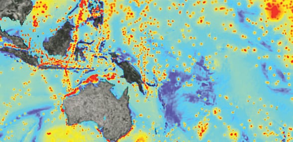
The Science of Ocean Acoustics
Chris Verlinden, Sarah Rosenthal, Jennifer Brandon, Kevin Heaney, and James Murray, Applied Ocean Sciences
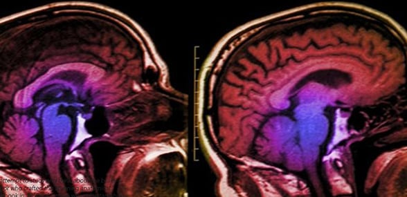
Spatial Thinking Effects on the Human Brain
Bob Kolvoord, James Madison University
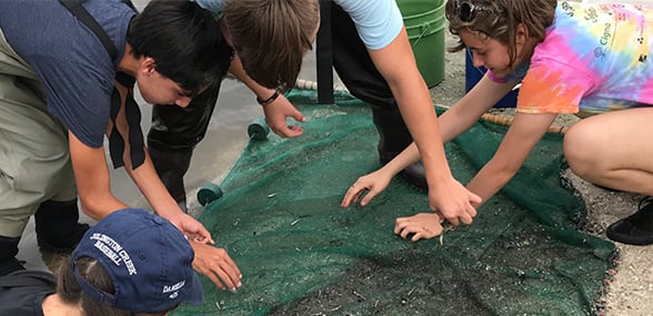
Fueling Curiosity to Foster a Healthy Planet
Vicki Phillips, National Geographic Society
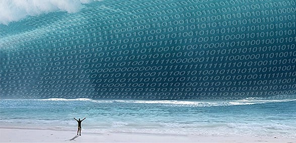
Teaching Spatial Data Science and Deep Learning
Ilya Zaslavsky, UC San Diego and Dmitry Kudinov, Esri
Technology Showcase
Esri Staff
Chapter Resources Volume 2
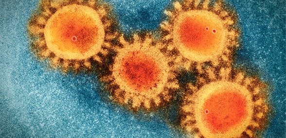
GIScience Response to the COVID-19 Outbreak
Esri Staff

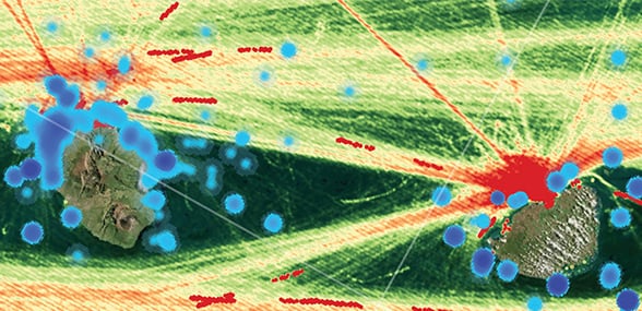
The Geography of Islands
Roger Sayre et al., US Geological Survey; Nick Holmes, The Nature Conservancy; Osgur McDermott Long, Lauren Weatherdon, UNEP World Conservation Monitoring Center; Dena Spatz, Pacific Rim Conservation; Keith VanGraafeiland, Esri; and David Will, Island Conservation.
Unlocking Ocean Intelligence
Lisa C. Wickliffe et al., NOAA; Seth J. Theuerkauf, The Nature Conservancy; and Christine M. Taylor, Bureau of Ocean Energy Management
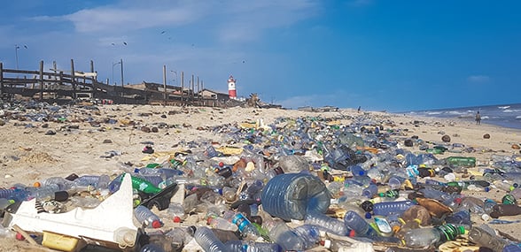
The Geography of Ocean Plastics
Orhun Aydin and Shaun Walbridge, Esri
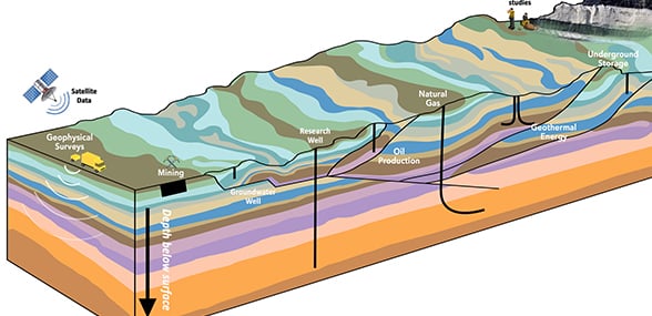
Exploring Beneath the Basemap
Jennifer Bauer, Kelly Rose et al., National Energy Technology Laboratory
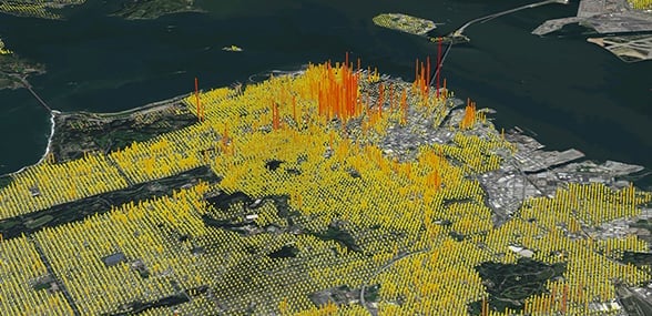
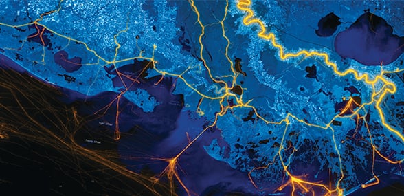
Mapping Human Dynamics
Amy Rose et al., Oak Ridge National Laboratory
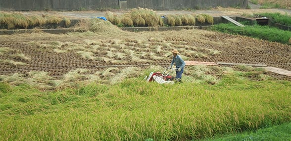
Sustainable Food Production
Paul West, et al., University of Minnesota, Institute on the Environment; and Mauricio Castro Schmitz, The Nature Conservancy
Tracking Global Forest Loss
Elizabeth Goldman, Nancy Harris, World Resources Institute; Lauren Bennett, Esri; and Stephen Ansari, Christopher Gabris, and Michael Lippmann, Blue Raster
How to Feed the World
Daniel Roberts et al., USDA Agricultural Research Service; Chris Reberg-Horton, NC State Center for Environmental Farming Systems; Nick Short and Sudhir Shrestha, Esri
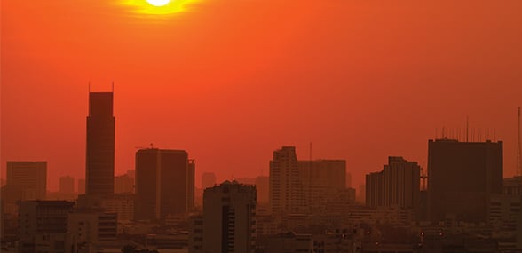
Monitoring Air Quality in the US
Liz Naess, Halil Cakir, Environmental Protection Agency; and Alberto Nieto, Esri
The Urban Tree Canopy
Jarlath O’Neil-Dunne, University of Vermont; Dexter Locke and J. Morgan Grove, US Forest Service; Michael Galvin, SavATree
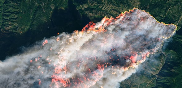
Monitoring Disasters
Jeremy Kirkendall and Garrett Layne, NASA Disasters Program
Drones and GeoAI for Environmental Monitoring
William Shuart, Virginia Commonwealth University; Rohit Singh, Lain Graham and Gerald Kinn, Esri
Technology Showcase
Esri Staff
Chapter Resources Volume 1
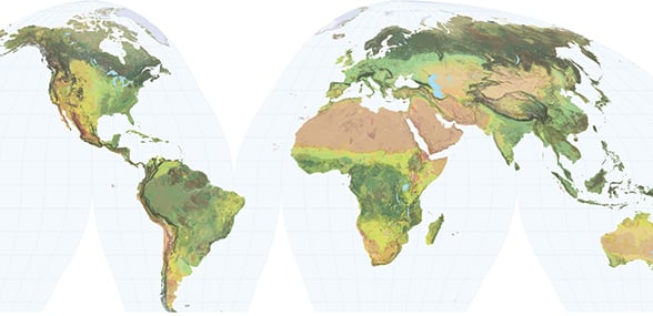
Global Ecosystem Mapping
Roger Sayre, US Geological Survey
What Lies Beneath
Daniel Coe, Washington Geological Survey
The Anatomy of Supervolcanoes
Melanie Brandmeier, Esri Germany
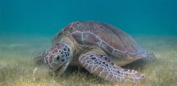
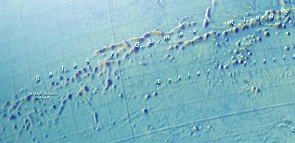
Predicting Global Seagrass Habitats
Orhun Aydin and Kevin A. Butler, Esri
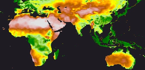
Extreme Heat Events in a Changing Climate
Olga Wilhelmi and Jennifer Boehnert, NCAR
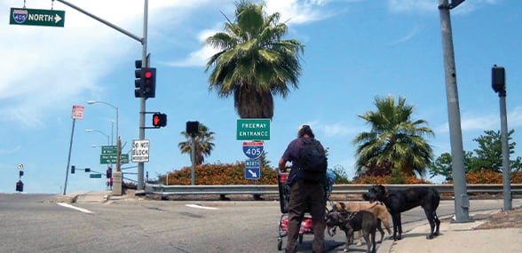
Finding a Way Home
Lauren Griffin and Este Geraghty, Esri
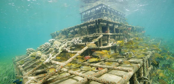
Restoring Coastal Marine Habitats
Zach Ferdaña, et al., The Nature Conservancy, Tom Brouwer, FloodTags; and Omar Abou-Samra, American Red Cross
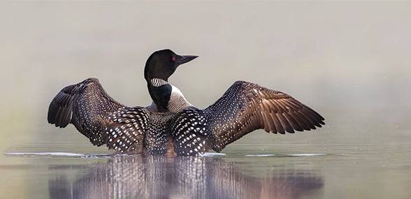
Modeling Bird Responses to Climate Change
Gary Langham, Molly Bennet, with Brooke Bateman, et al., National Audubon Society
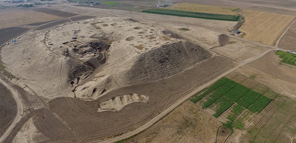
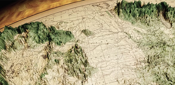
Mapping Ancient Landscapes
Jason Ur and Jeffrey Blossom, Harvard University
Identifying the Natural Efficient Frontier
Jeff Allenby, Chesapeake Conservancy; Lucas Joppa and Nebojsa Jojic, Microsoft Research
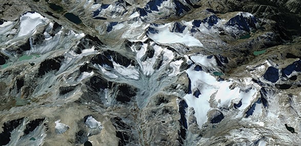
A Glacier in Retreat
Jacki Klancher, Todd Guenther, and Darran Wells, Central Wyoming College
Panamapping: GIS for Conservation Science
Dan Klooster, et al., University of Redlands; Experience Mamoní; and Fundación Geoversity
Technology Showcase
Esri Staff